Spatial Data Analysis with R
Course Level: Advanced (6 hours)
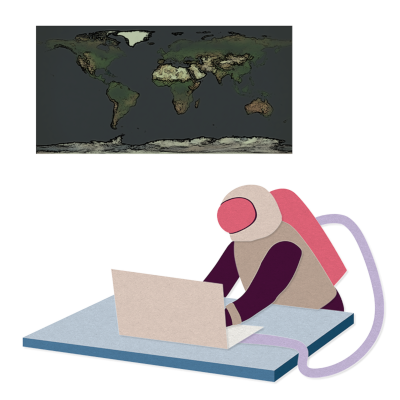
As spatial data sets get larger, more sophisticated software needs to be harnessed for their analysis. R is now a widely used open source software platform for working with spatial data thanks to its powerful analysis and visualisation packages. The focus of this course is providing participants with the understanding needed to apply R’s powerful suite of geographical tools to their own problems.
No Events Currently Scheduled
Sorry, there are no upcoming events for this course, but please get in touch if you would like to be kept informed when events are scheduled in the future.
Course Details
Outline
This course will be structured as follows:
- Introducing R as a GIS
- The structure of spatial objects in R
- Loading and interrogating spatial data with {sf}
- Visualising spatial data sets with {tmap}
- Data manipulation with spatial data using {dplyr}
- Spatial joins
- Coordinate reference systems (CRS)
- Interactive maps with {leaflet}
Learning outcomes
Session 1:
By the end of session 1, participants will…
- have an understanding of different types of spatial data.
- know how to plot static maps using {tmap}, including adding multiple layers and colouring by variables.
- understand how to manipulate spatial data using {dplyr} and {sf} functions.
Session 2:
By the end of session 2, participants will…
- gain knowledge of coordinate reference systems (CRS) and know how to define a CRS.
- understand and be able to create interactive maps using {leaflet}.
- understand how to create initial maps and add objects containing different types of data.
- be able to customise their interactive maps with colours, labels and legends.
This course does not include:
- Any spatial modelling.
Prior knowledge
It is expected that participants have basic R experience, e.g. attending the Introduction to R and Programming with R courses or having a similar level of knowledge. The course will be hands-on and applied with short introductory lectures to each of the topics, followed by practical sessions loading and analysing real spatial datasets.
Attendee Feedback
- “The instructor well handled the different level of knowledge of the participants.”
- “Rhian was really knowledgeable and friendly, and taught the course in a well structured, step-by-step way. Her explanations were nice and clear and giving each of us an opportunity to walk the group through the answers to the exercises helped solidify what we’d (I’d) learned.”